- Gallery
Geographical location
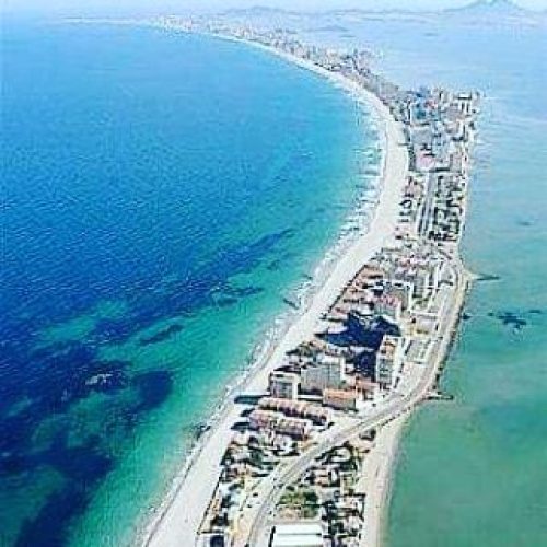
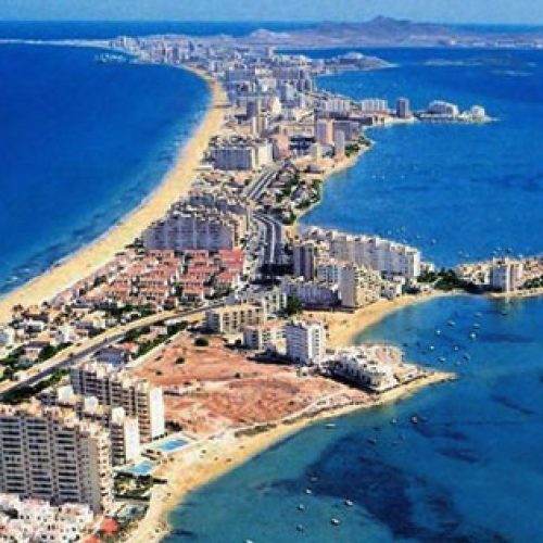
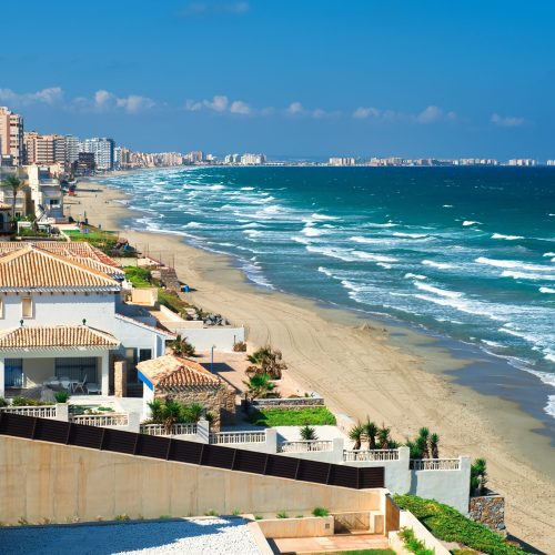
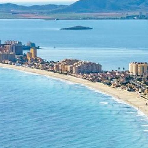
The descriptive name La Manga (the sleeve) refers to an interesting geographical feature that has become one of the most representative symbols of the Murcia coast as a tourist destination: a chain stretching approximately 21 km from Cabo de Palos to La Veneziola, which forms the natural boundary of the saltwater lake known as Mar Menor. Originally, what is now known as La Manga del Mar Menor was a bay open to the Mediterranean Sea; at each end, volcanic reefs gradually retained the sand and sediment carried by the sea currents to form a sandy column of dunes and rocky vegetation and long beaches in contact with two seas: the Mediterranean and the Menor. La Manga is a narrow strip of land varying in width from 200 metres to 1.5 kilometres. It is cut by natural channels that keep the two seas in contact; the “golas” allow water from the Mediterranean to enter the lake. As a result, this area remained unspoilt until the 1960s, when La Manga was “discovered” as a tourist resort and underwent a transformation that included the urbanisation of the area and the construction of tourist infrastructure.
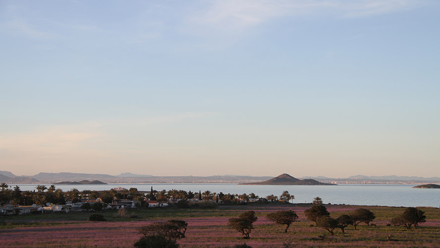
The natural setting of La Manga
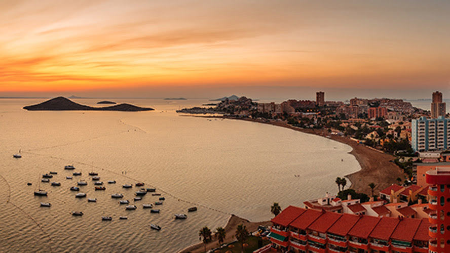
La Manga is 21 kilometres long and varies in width between 100 and 1,200 metres. Although it connects the two sides of the bay, it does not completely surround the Mar Menor, which is therefore a large lagoon whose waters communicate with those of the Mediterranean Sea.
Thanks to this unique ecosystem, the Mar Menor has enjoyed great natural wealth over the centuries.
Things to see and do in La Manga
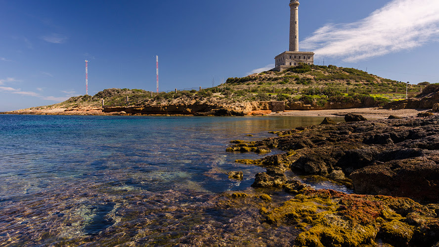
Cabo de Palos
Calblanque Nature Reserve
Monte Blanco viewpoint
Salt flats and sandy areas of San Pedro del Pinatar
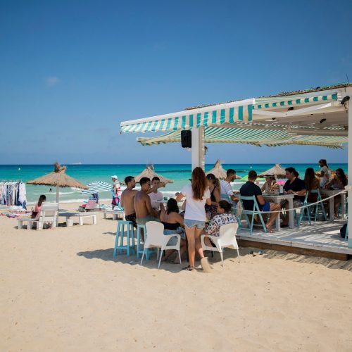
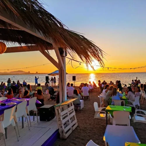
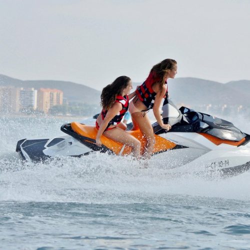
Activities in La Manga
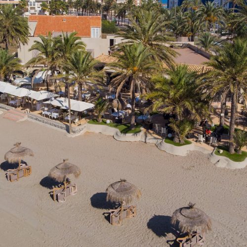
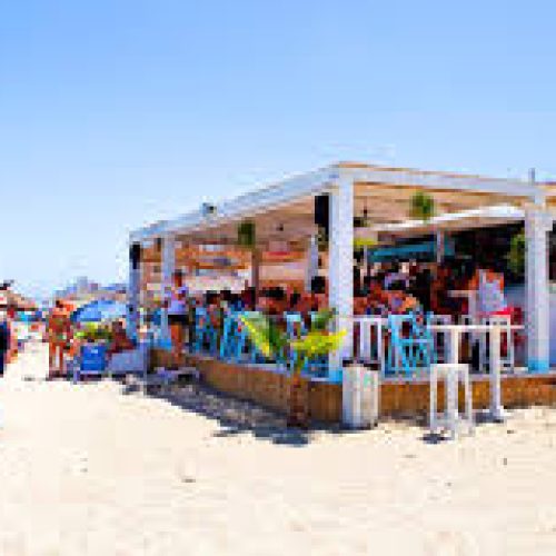
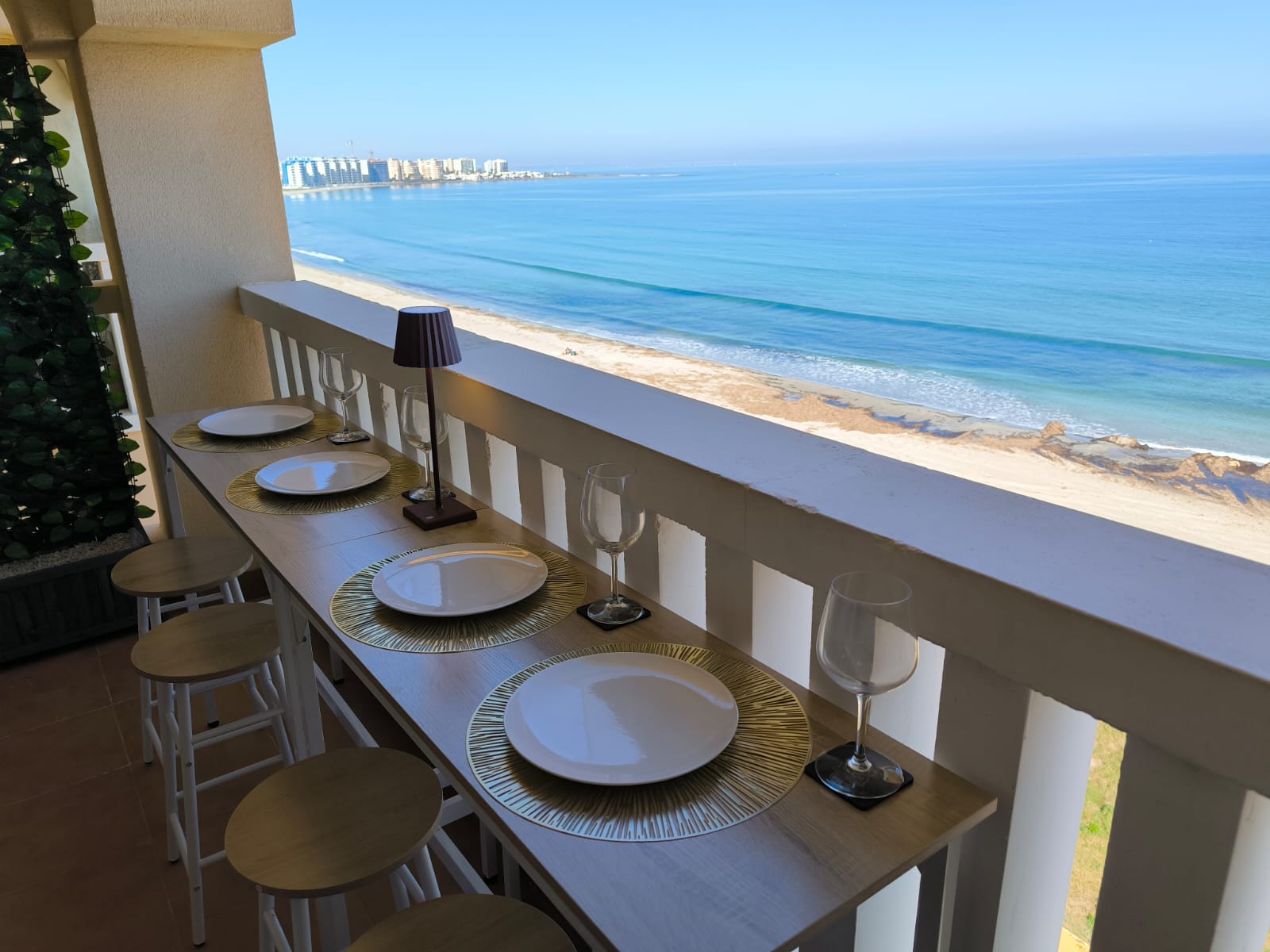
Where to eat in La Manga